

Turn 3D site data into accurate design-ready models
Aerial Perspectives Australia’s Scan-to-Design services convert precise 3D scans into CAD files, BIM models, and point clouds to support faster, more coordinated architectural and engineering workflows. Whether for renovations, retrofits, or new builds, our digital models replace guesswork with clarity—accelerating timelines and reducing risk from start to finish.
Key Benefits:
Accurate Existing Conditions

-
Capture precise, geo-referenced 3D data of buildings or structures
-
Eliminate manual errors and inconsistencies from hand measurements
-
Save time with rapid site capture and fewer return visits
-
Create dependable records for design, compliance, and handover
-
Support site validation and visual inspections at every stage
Accurate Existing Conditions
-
Produce BIM-ready files and precise floor plans
-
Integrate seamlessly with existing FM and asset platforms
-
Inform maintenance and space management decisions
-
Anticipate issues with accurate digital references
-
Capture envelope data to optimise long-term performance
Collaboration
& Efficiency

-
Share point clouds and models with consultants remotely
-
Coordinate stakeholders with real-world, visual references
-
Support remote collaboration and faster feedback loops
-
Cut rework and material waste through early clash detection
-
Enhance safety and minimise on-site disruptions
75%
Reduction in physical site vites for inspection and planning
30x
Improvement in early defect detection and monitoring
50%
Faster decision-making in planning and maintenance
80%
Cost savings on surveying and as-built documentation
Interested? Contact us today.


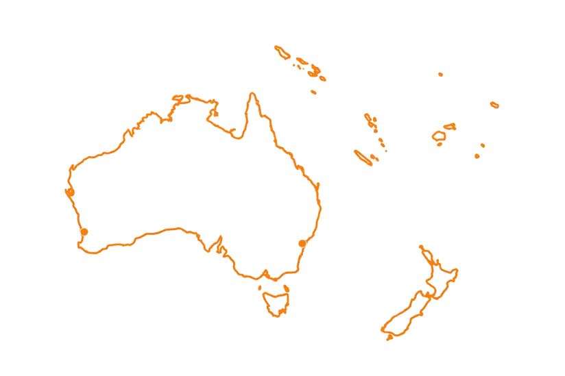
Servicing Australia and the South Pacific