

Make construction projects easier to manage from start to finish
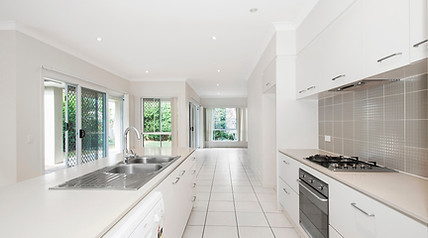
Our 3D site capture services provide accurate, visual documentation of your site at every stage — from planning to handover. These detailed models help reduce site visits, improve coordination, and support clear decision-making across teams. Whether you’re designing, building, or closing out a project, our scans help you stay on track and in control.
Key Benefits:
Planning & Design

-
Capture precise existing site conditions
-
Evaluate risks and design constraints
-
Align stakeholders early with visual clarity
-
Plan construction strategies more accurately
-
Convert site data into BIM/CAD-ready formats
Construction & Progress

-
Monitor progress with visual updates
-
Manage RFIs and on-site issues remotely
-
Document key construction milestones
-
Reduce miscommunication with clear records
-
Improve safety training and site inductions
Commissioning & Handover

-
Deliver accurate as-built 3D models
-
Create digital records for future facility use
-
Support O&M manuals with spatial context
-
Enhance warranty and specification tracking
-
Provide assets for ongoing training and promotion
75%
fewer onsite visits by project stakeholders
70%
reduction in survey costs and BIM file creation
75%
project issue resolution without needing escalation
30%
savings in cost and time due to enhanced collaboration and quicker decision-making


Why Aerial Perspectives Australia?
Aerial Perspectives is a Queensland-based reality capture and digital twin business operating across South East Queensland, the Northern Rivers, and the East Coast of Australia. We specialise in:
-
3D laser scanning and point cloud survey
-
Scan-to-BIM (Revit) and scan-to-CAD (DWG) deliverables
-
As-built documentation for residential and commercial construction
-
Dilapidation and pre-construction records
-
Drone aerial mapping and facade inspection
-
Immersive 3D virtual tours for real estate, hospitality, and tourism
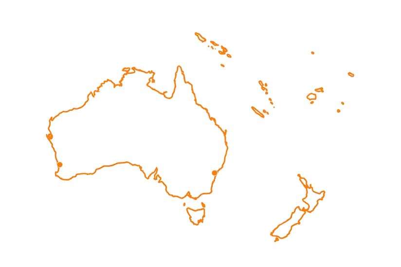
Servicing Australia and the South Pacific