

Why Existing Conditions 3D Site Capture Matters
When project success depends on accurate data, traditional drawings and outdated plans won’t cut it. Our existing conditions capture delivers a comprehensive 3D snapshot of the current site — reducing errors, rework and costly assumptions down the track.
Key Benefits:
Start with Verified Site Data
-
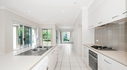
Scan existing buildings, infrastructure or terrain in full 3D
-
Generate accurate as-built records to inform design and planning
-
Avoid surprises caused by outdated or incomplete site documentation
Improve Design Accuracy
-
Supply architects, engineers and designers with up-to-date spatial data
-
Support BIM and CAD workflows with ready-to-use point clouds
-
Ensure your design fits the true dimensions and conditions of the site
Streamline Project Coordination
-
Share 3D walkthroughs with consultants, clients and trades
-
Improve clarity across teams during pre-construction phases
-
Minimise miscommunication and site visits through visual alignment
Create a Lasting Visual Archive
-
Retain a digital twin of the site for future reference or project stages
-
Track site evolution across time and reduce future measurement needs
-
Strengthen compliance and reduce liability with documented proof


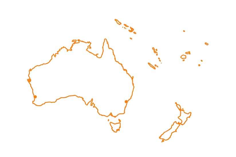
Servicing Australia and
the South Pacific