

Why 3D Site Documentation Is Valuable for Open Space Asset Management?
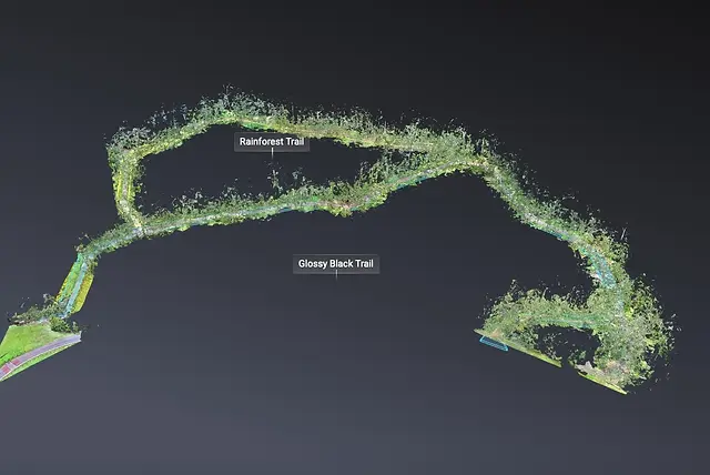
Well managed open spaces rely on accurate, up to date information. 3D site documentation provides a clear digital record of terrain, vegetation, paths, structures and public infrastructure, helping asset and land managers make informed decisions with confidence.
Whether managing parks, coastal areas, reserves or recreation spaces, a visual site model supports condition assessments, maintenance planning, upgrades and compliance by providing a shared spatial reference across teams.
Key Benefits:
Support Planning & Upgrades
-
Capture terrain, vegetation, paths, infrastructures, in a single spatial record.
-
Identify erosion, wear, or accessibility issues early
-
Support future works, upgrades and renewal planning with visual context
Improve Maintenance & Management
-
Document asset condition at a specific point in time
-
Track changes, wear and erosion through repeat captures
-
Support maintenance scheduling and contractor scoping
Enhance Safety & Risk Management
-
Identify hazards such as erosion, unstable slopes, damaged assets or access issues
-
Support risk assessments and safety audits
-
Provide visual evidence to support incident reviews and mitigation planning
Strengthen Collaboration & Compliance
-
Share a clear visual reference across internal teams and external contractors
-
Support grant applications, environmental assessments, and permit processes
-
Improve coordination between planning, maintenance, environment and asset teams


Servicing Australia and
the South Pacific