top of page


TRANSFORMING THE BUILT WORLD WITH
3D SITE CAPTURE & IMMERSIVE VIRTUAL SOLUTIONS
Capture. Visualise. Collaborate.


We help builders, developers, architects, designers and asset managers work smarter with accurate, visually rich 3D site capture. Our solutions make it simple to document progress, resolve issues quickly, and keep every stakeholder on the same page. Whether you need pre-construction records, milestone progress updates, or immersive virtual tours for clients, we provide the tools that save time, reduce risk, and enhance your project’s reputation.


Why Use of 3D Site Capture and Interactive Virtual Tour Solutions
3D site capture and virtual tours offer more than just visuals, they deliver practical value at every stage of your project. From planning and compliance to stakeholder engagement and sales, these tools provide an accurate, shareable digital record that helps reduce delays, increase transparency, and support smarter decision-making.
Improve Documentation & Compliance
-
Capture and record current site conditions
-
Support compliance with standards
-
Provide evidence for insurance claims
Boost Collaboration & Communication
-
Improve stakeholder communication
-
Enable remote reviews and decision-making
-
Keep all project data in one accessible platform
Enhance Quality & Safety
-
Improve quality assurance on-site
-
Provide reliable trade references
-
Reduce risks through accurate documentation
Support Sales & Marketing
-
Create engaging, shareable 3D experiences
-
Increase buyer confidence with realistic tours
-
Streamline the sales process with visual clarity
Reduce Costs & Save Time
-
Minimize defect-related rework and delays
-
Speed up approvals and troubleshooting
-
Reduce unnecessary site visits
Increase Engagement & Transparency
-
Create engaging, shareable 3D experiences
-
Increase buyer confidence with realistic tours
-
Streamline the sales process with visual clarity
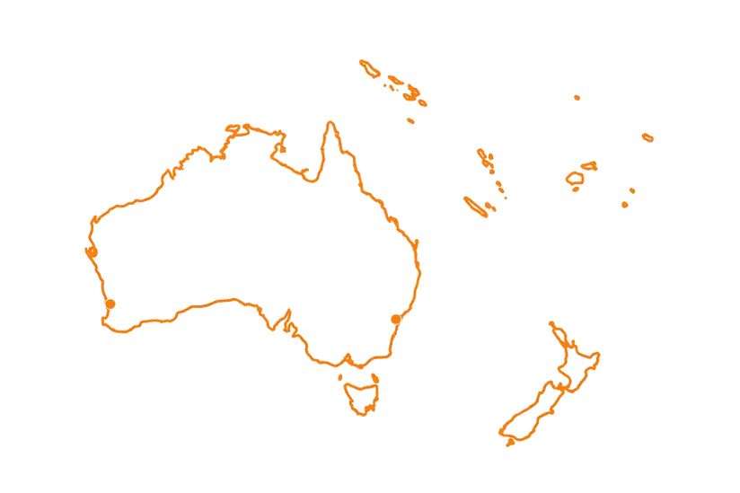
Servicing Australia and
the South Pacific

Frequently asked questions
Getting Started
Use Cases and Applications
Technical Access and File Delivery
Industries We Work With
Services and Deliverables
Privacy and Security
bottom of page