


Trusted by Builders, Architects and Developers Across SEQ
Construction projects fail documentation when it matters most — during disputes, defect claims and handover. We deliver 3D site capture, point cloud surveys and scan-to-BIM across Gold Coast, SEQ and the Northern Rivers. Every milestone documented. Every stakeholder aligned. Every deliverable ready for design, legal and insurance use.


We help builders, developers, architects and asset managers work smarter with accurate 3D site capture. From pre-construction dilapidation records through to scan-to-BIM deliverables and digital twin handover — our reality capture services give your team a single, accurate, remotely accessible source of truth.


Why Project Professionals Choose 3D Site Capture
From pre-construction dilapidation to digital twin handover — 3D site capture delivers practical value at every project milestone.
Keep a Clear Record from Day One
-
Site capture from pre-construction to handover
-
Every milestone timestamped and shareable
-
Refer back to any stage with confidence
Avoid Disputes and Uncertainty on Site
-
Clear baseline before work begins
-
Verify subcontractor work with accurate visual records
-
Remove the guesswork when claims arise
Keep Everyone on the Same Page
-
One shared 3D asset for your team & consultants
-
Clear view of what’s built — not just drawings
-
Reduce miscommunication across trades and clients
Reduce Site Visits and Lost Time
-
Access the site remotely at any stage
-
Check conditions without returning to site
-
Answers on demand — straight from the 3D asset
Catch Issues Before They Become Rework
-
Record work before it’s covered up
-
Spot inconsistencies across trades early
-
Reduce costly defect fixes at handover
Strengthen Your Position on Projects
-
Show a more structured, professional workflow
-
Support coordination on more complex builds
-
Build confidence with clients and consultants
Why Aerial Perspectives Australia?
Aerial Perspectives is a Queensland-based reality capture and digital twin business operating across South East Queensland, the Northern Rivers, and the East Coast of Australia. We specialise in:
-
3D laser scanning and point cloud survey
-
Scan-to-BIM (Revit) and scan-to-CAD (DWG) deliverables
-
As-built documentation for residential and commercial construction
-
Dilapidation and pre-construction records
-
Drone aerial mapping and facade inspection
-
Immersive 3D virtual tours for real estate, hospitality, and tourism
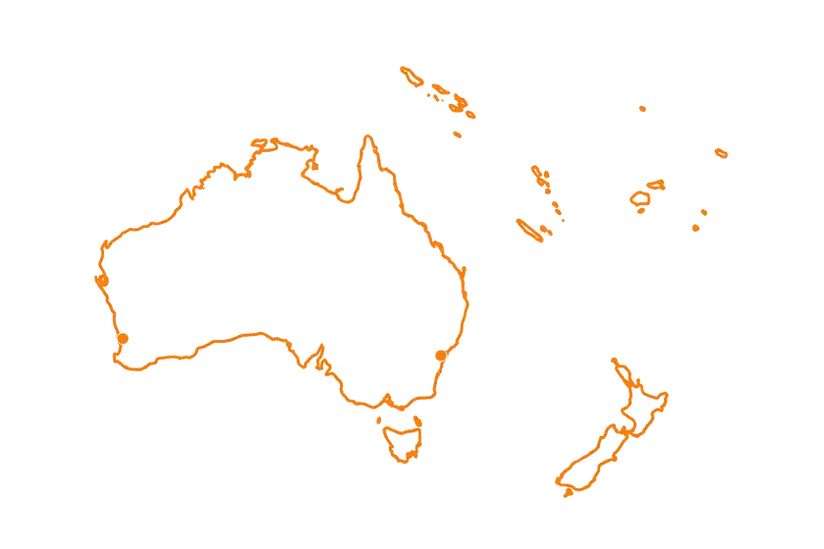
Servicing Australia and
the South Pacific
